 |
| www.flickr.com by Jet Alvarado |
In the Philippines, volcanoes are really nothing new, no big deal. Whether it's the infamous and destructive Pinatubo eruption in the early 90s, the picture perfect cone of Mt. Mayon towering over the city of Legazpi at the southern end of Luzon Island, the Mt. Makiling that every Manila student has climbed at one time or another, or the cutely named Hibok-Hibok in Camiguin province. Wikipedia lists 25 active volcanoes and 339 inactive ones. Like Indonesia, New Zealand, the Aleutian Islands, Guatemala and Ecuador -- it epitomizes the Pacific's Ring of Fire. Despite this commonality, Taal volcano is one of the most unique I've ever seen in the world, because it is the relic of a massive volcanic explosion (the mountain could have been 18,000 feet high) of one of the biggest volcanoes in the world. This formed a caldera lake (Lake Taal, aka Lake Bonbon in historical texts, 3m above sea level, 172m deep, 15-30km wide, formed between 500,000 and 100,000 years ago) with little Volcano Island in the middle (5km long, 23 square kilometers), with a little lake in the middle of that, and another little volcano in the middle of that. And the lakes are on different levels and breathe, incredibly. The recent explosions originate from Volcano Island, but are simply the surface level of the massive activity happening below.
 |
| www.taalvolcano.org - Volcano Island with Mt. Macolod in the background as viewed from Tagatay Ridge |
Unfortunately, my own photos are printed and stacked under our family home, and they mostly consist of the views from the ridge town on the caldera cliffs, Tagaytay so probably not all that impressive anyway, but I have tried to collect some of the most awe-inspiring ones I could find -- what a spectacular place.
 |
| www.geog.ucsb.edu |
During the recorded history since 1572, more than 33 eruptions have been recorded and 6 major eruptions have claimed several fatalities from pyroclastic flows and tsunamis in the lake (1572, 1591, 1605-1611, 1707, 1709, 1715-16, 1729, 1749, 1754 was a 200 day eruption, 1790, 1808, 1874 killed all the livestock on the island, 1878, 1904, 1965, etc, etc). One of the most famous was in 1911, which killed 1334 people. It has been dormant since 1977, despite increases in activity in 1991, 2003, 2007, 2009 and 2011 showing hot pools, earthquakes, mud flows/geysirs and a raised lake level. The lake is home to species such as the freshwater sardine (the only one in the world) and the Taal Lake Seasnake as well as endemic blue green algae, diatom, ostracod, sponge, reptile and fish.
 |
| taaltours.blogspot.com |
From Wikipedia: "The crater lake on Volcano island is the largest lake on an island in a lake on an island in the world."Sources:

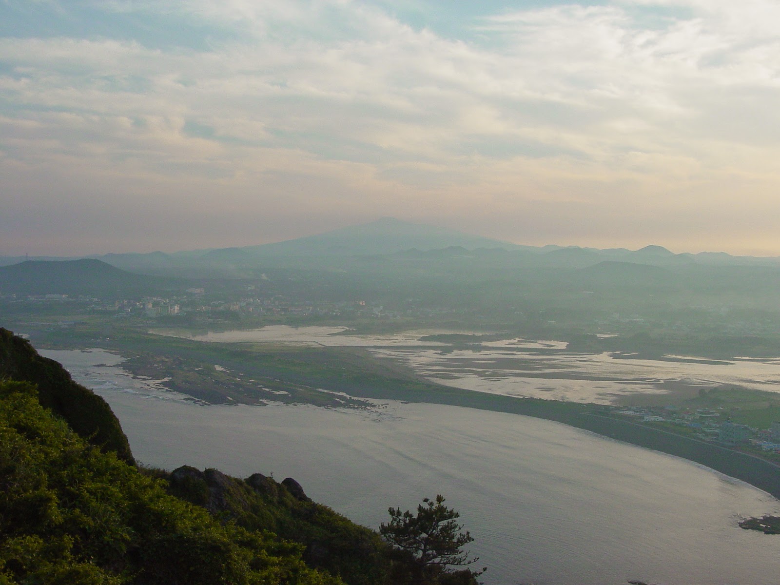
 It's often reported that the most highly trafficked plane route in the world is the route from Seoul (#970) to Jeju Island in Korea, although I really couldn't say where I heard it and if that statistic is really up to date. This island, 85km south of the peninsula in the South Sea (East China Sea), is a honeymoon, holiday paradise. It has been compared to Hawaii, the Mediterranean, and Disneyland for valid reasons.
  With a beautiful sub-tropical volcanic landscape, a unique culture that evolved separately from the mainland due to few visitors, and the ocean beyond, it is not surprising that it is the place Koreans tell you to visit. Jeju City is the location of the main airport on the northern coast of the island. Similar to many other Korean cities, it holds the Samseonghyeol Shrine (with harubang) as well as a nice seafront and history museum.
 The isolation allowed Jeju to form a unique architectural style: stone houses with thatched roofs tied down in the strong winds. It was for a time during the Joseon dynasty, a haven for exiles: intellectuals, Catholic converts and political undesirables.




 Cheonjeyeon Pokpo is a three-tier waterfall in a pretty gully near Seogwipo. The Seven Nymphs footbridge above, named for the seven carved beauties who served the Emperor of Heaven and supposedly slid down the moonbeams to bathe here every night.


 Jusangjeolli Rocks just south of the Convention Centre, are a 2km stretch of spectacular hexagonal-shaped-rock-strewn coastline. Made during the rapid cooling and contraction of lava when it hits the ocean, there are also waterfalls streaming off (such as the Chongbang falls pictured below) to increase its spectacle.


.jpg)


.jpg)


