
  |
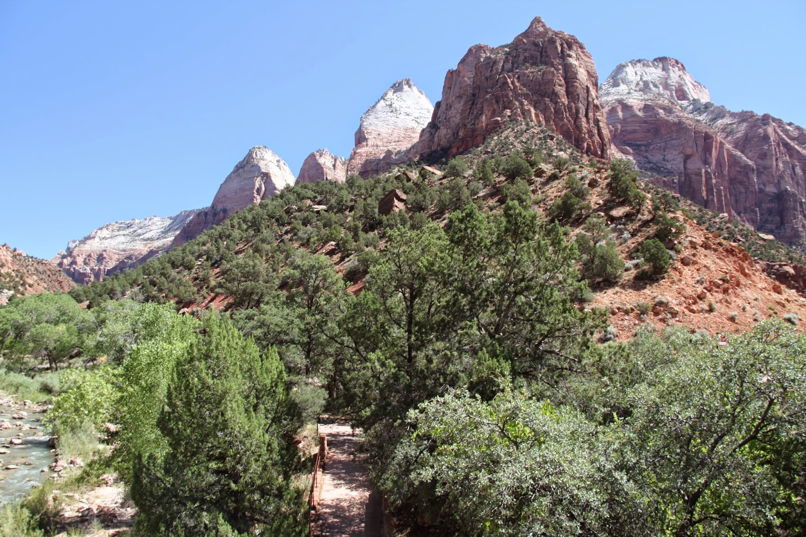
| View of Zion National Park just before and after the gates. |
Before I went to Zion National Park, a friend told me to try and accomplish two things: the Narrows and Angel's Landing. These are truly amazing, but only a tiny part of this small and spectacular National Park. The north fork of the Virgin River carves the beautiful Navajo sandstone into Zion Canyon, a 24km long and 800m deep. Going from 2600m down to 1100m in elevation, the landscape changes from a cool mountain climate to the red deserts leading off into Nevada, representing one of the steepest stream gradients in the US. It incorporates the three diverse geographic areas of the Colorado Plateaus, the Great Basin and the Mojave Desert.

 Walking up 'the Narrows' involves going as far into the park and up Zion Canyon as possible, and hiking to the end of the trail, known as the Temple of Sinawava (the Coyote God of the Paiute tribe), then continuing the trail in the river as it winds through a narrow canyon which gets smaller and smaller.
 Small slots of side streams cut through the spectacular rock and eventually the river splits, about 2 hours walking up river. Around 2000m high and as wide as 20m in some places, the canyon narrows to a 1m squeeze in the side streams, so as you can imagine flash flooding is a serious risk.


 It's a popular hiking spot, and by midday there are many people going both into and coming out of the canyon. The slippery rocks make it hard to walk but the water and canyon are cooler than the heat of the main canyon.


 The area was settled by small family groups of Basketmaker Anasazi, the Parowan Fremont and other Native Americans from around 8000 years ago. Later they were joined by the Paiute and Ute. Spanish padres Silvestre Velez de Escalante and Francisco Atanasio Dominguez passed close by in 1776, and Jedidiah Smith explored some of the area for the American Fur Company. Mormons arrived and settled in the 1850s.
  |
| Big Bend near the top of the park |

 Walking up to Angel's Landing is not easy, but has one of the most spectacular views in the park -- all the way down the valley, and it also has one of the most exciting trails. The end is a scramble up rocks with sheer cliffs on either side and only a small metal wire to hold onto, but before that there are Walter's Wiggles which weave the trail up the inside of a narrow canyon half way up the mountain (he was the visionary who created the trail back in the 1920s).




 The main part of the park is only accessible by the shuttle bus in peak season (in winter, cars can drive all the way in), but the main Zion-Mount Carmel Utah highway (Route 9) also goes through the park, with amazing views and an awesome tunnel (finished in 1930) cut into the side of the cliff with little view holes spread throughout.
  |
| View from the Zion-Mount Carmel Tunnel entrance |


 |
| Biggest natural arch in the park |
  |
| The canyon overlook trail is a short walk from the top of the tunnel. |


 |
| Checkerboard Mesa |

Other trails that I didn't have time to do included the Weeping Rock, Taylor Creek, Kolob Arch, the Subway, the Emerald Pools, Mineral Gulch, Pine Creek Waterfall, the West Rim Trail, Wildcat Trail and many more! I guess I'll just have to go back!
Source: http://www.nps.gov/zion/index.htm
http://en.wikipedia.org/wiki/Zion_National_Park
http://www.utah.com/nationalparks/zion.htm
http://www.zionnationalpark.com/
http://en.wikipedia.org/wiki/Zion_%E2%80%93_Mount_Carmel_Highway


